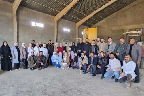
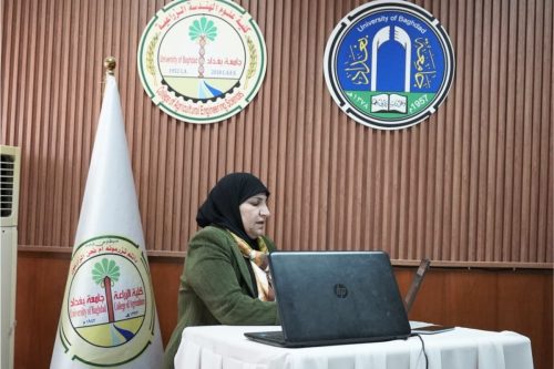
The College of Agricultural Engineering Sciences, in collaboration with the Environmental Engineering Department at the College of Engineering, University of Baghdad, organized a training course titled “Employing Cartographic Maps in Analyzing and Tracking the Chemical Coding System for the Protection of the Environment and Public Health.” The course was delivered by Dr. Safaa Hameed Fadhil and Assistant Lecturer Hanadi Talib Ismail, with the attendance of a number of college professors, staff, and students.
The course highlighted the role of chemical maps as a vital analytical tool for representing the distribution and concentration of chemicals in the environment, which contributes to identifying pollution areas, managing risks, and demonstrating their importance in supporting environmental decision-making and compliance with international standards by linking chemical data with geographic information. Furthermore, integration with the (GHS) enhances the standardization of hazardous material classification and labeling, improving risk understanding and facilitating effective response planning using Geographic Information Systems (GIS).
The course recommended exploring the NFPA 704 system as a visual system for reporting chemical hazards through a colored “diamond” divided into four sections: blue for health hazard, red for flammability, yellow for instability, and white for special hazards. The system uses numbers from 0 to 4 to classify the severity level of each hazard. This enables emergency teams and workers to immediately assess risks and take appropriate actions during incidents, thereby enhancing occupational safety through clear labeling, employee training, and emergency preparedness planning, which helps prevent injuries and protect lives and property.
___________________________


