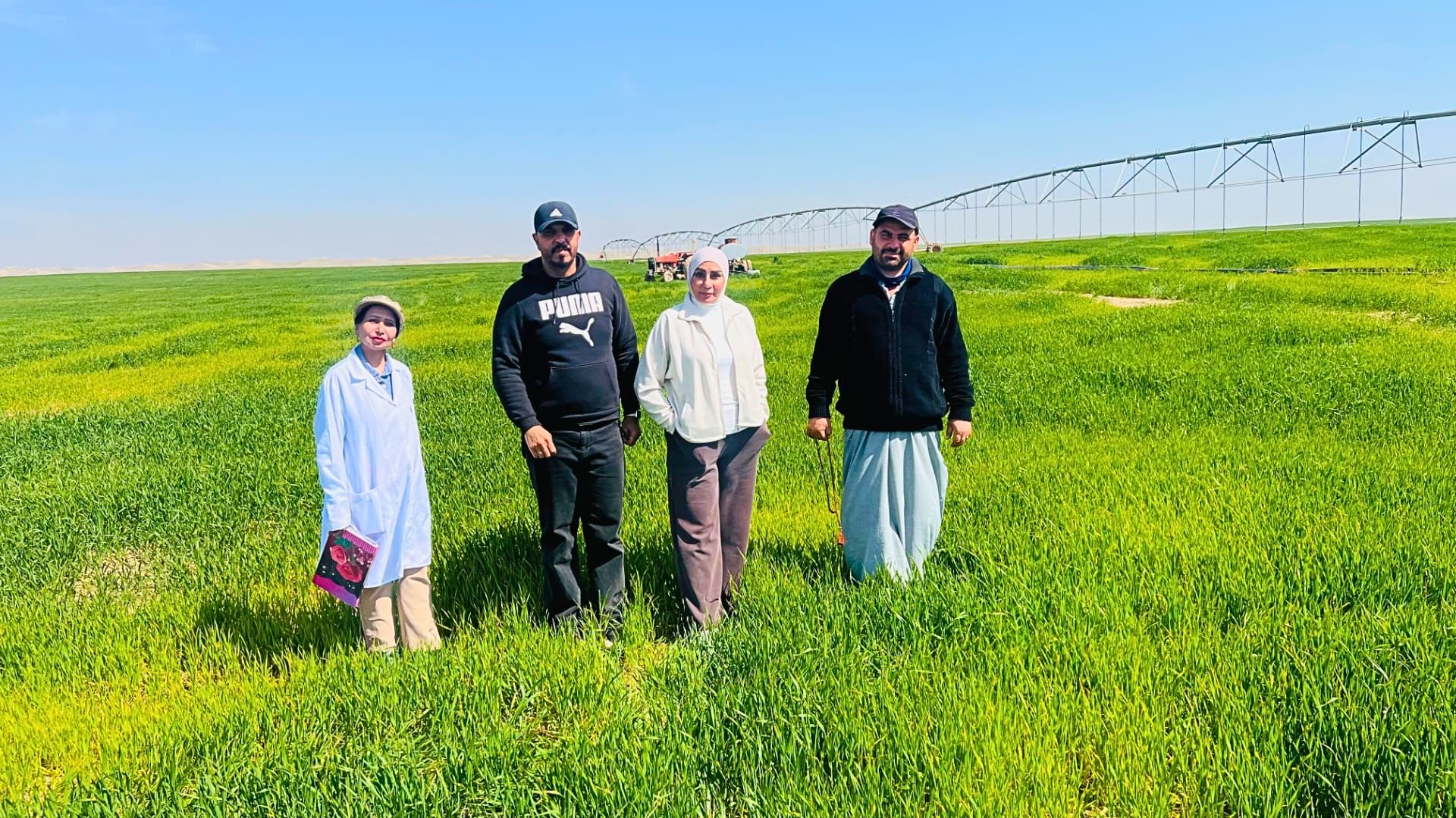
The research aims to integrate remote sensing technologies and artificial intelligence to improve the efficiency of water resource use in Iraq’s breadbasket, Nineveh Governorate.
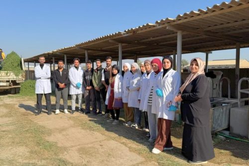
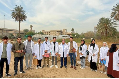
The experiment was conducted in two agricultural fields: the first field, covering 120 dunams, is located in Hammam Al-Alil, while the second field, covering 60 dunams, is located in Dabouna.
The experiment was conducted in two agricultural fields: the first field, covering 120 dunams, is located in Hammam Al-Alil, while the second field, covering 60 dunams, is located in Dabouna.
The study also aimed to achieve a precise balance between water consumption and crop productivity through several key objectives:
-
Quantifying water use: Estimating the actual water requirements of wheat under center-pivot irrigation systems during the period 2019–2026 in order to identify water gaps.
-
Spatial and temporal modeling: Employing WaPOR Patrol tools to conduct accurate simulations that enable the prediction of wheat productivity based on water-use efficiency in specific geographic areas.
-
Water resource governance: Developing precise digital agricultural maps to remotely monitor water consumption, thereby providing decision-makers with a technical tool to optimize water use and maximize national crop yield.
-
Sustainability assessment: Proposing national and local action plans to enhance the sustainability of agricultural production in light of current climate challenges.