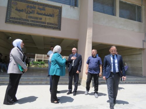
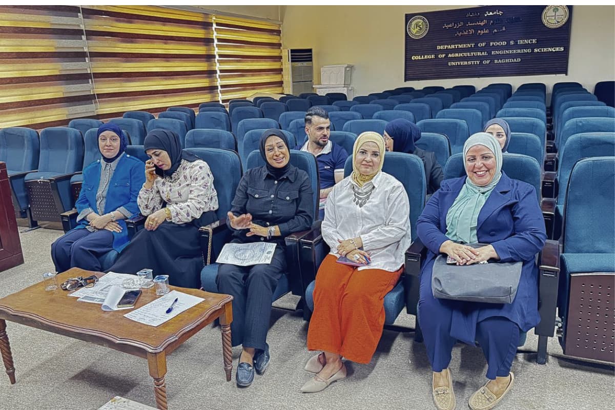
The College of Agricultural Engineering Sciences, in collaboration with the Department of Environmental Engineering, College of Engineering, University of Baghdad, organized a training course entitled “Managing Environmental Components Using Cartographic Maps: Shaping a Sustainable Future.”
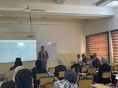
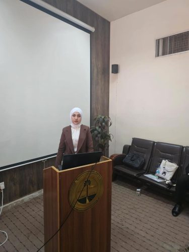
The course was delivered by Dr. Safa Hameed Fadhel and Assistant Lecturer Hanadi Talib Ismail, with the participation of a number of faculty members and staff.
The course covered the scientific fundamentals of the environment and its main components, including the atmospheric, hydrospheric, lithospheric, biospheric, and human spheres, as well as the interactions among them through the carbon, nitrogen, and water cycles, and energy transfer processes.
It also discussed the applications of spectral indices—such as NDWI, NDVI, and LDI—for monitoring and assessing the degradation of water bodies and vegetation cover using remote sensing techniques and satellite imagery from Landsat and Sentinel-2 missions.
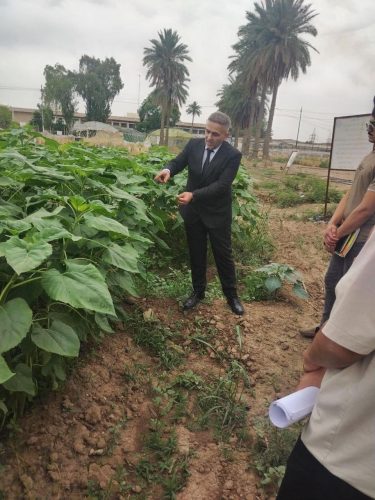
In addition, the course emphasized practical applications within GIS environments, showcasing advanced spatial analysis techniques and contour mapping to monitor changes in vegetation cover and water surfaces over time.
The course concluded with recommendations to protect the environment as a means of safeguarding public health and the well-being of future generations, stressing that environmental responsibility is shared by individuals, institutions, and governments alike. It called for supporting environmental innovations, promoting international cooperation, and enforcing environmental regulations to move toward a sustainable future.